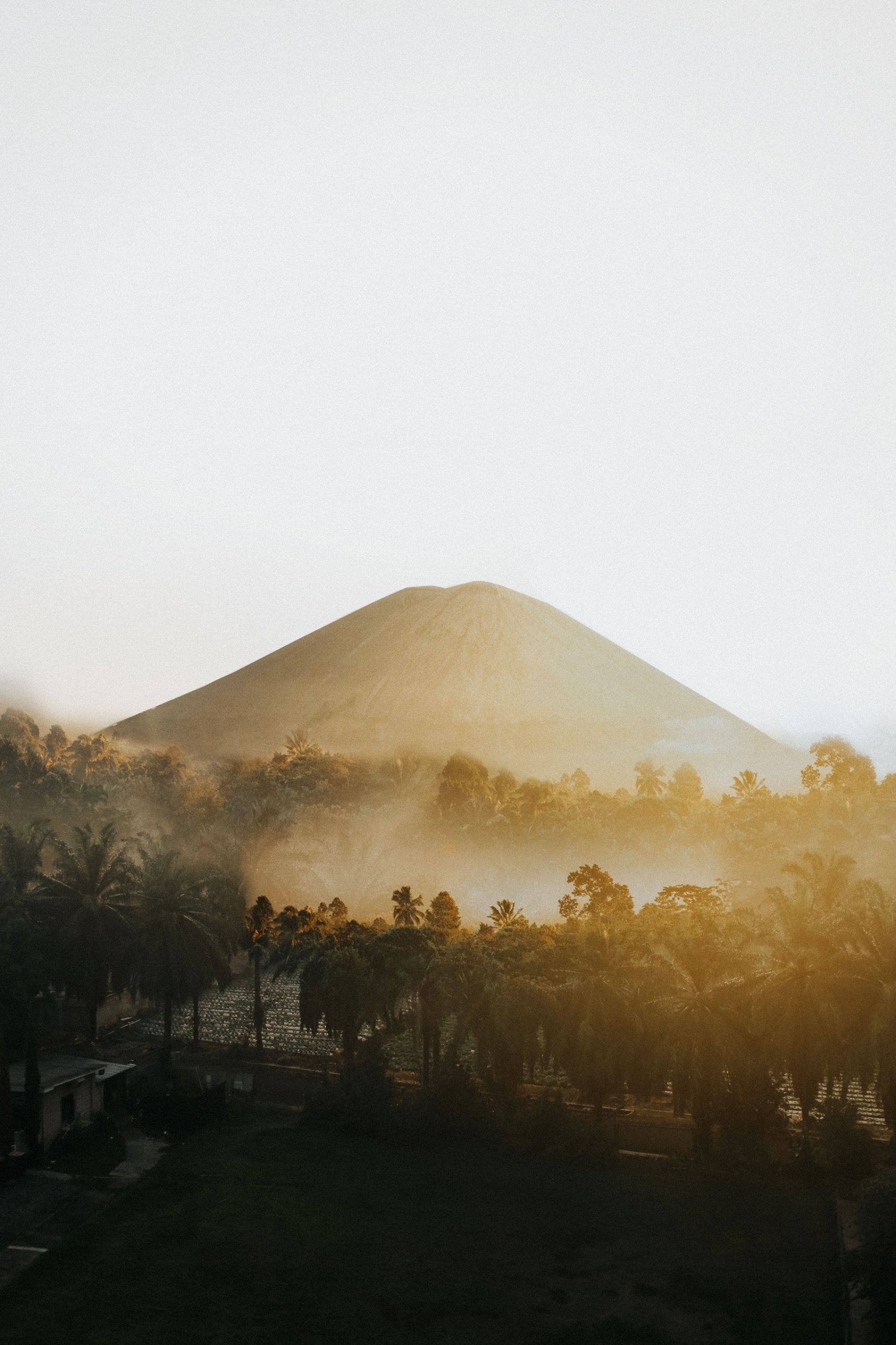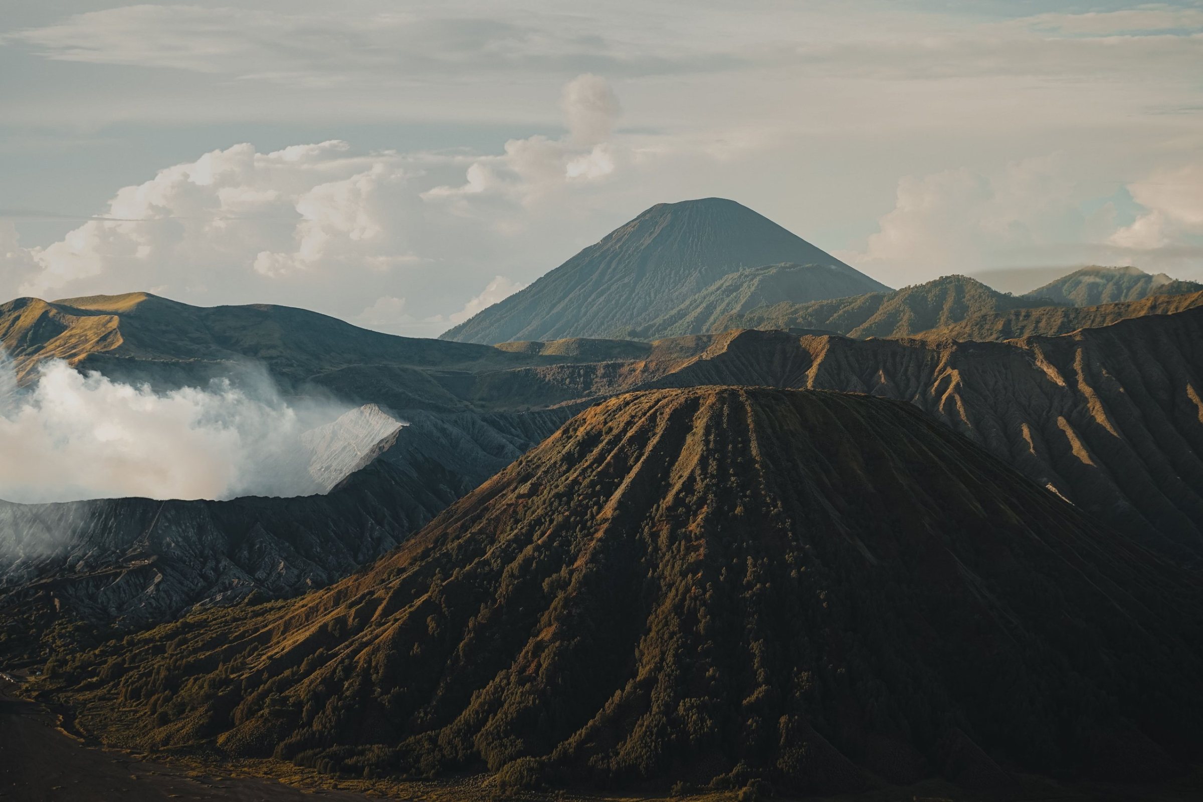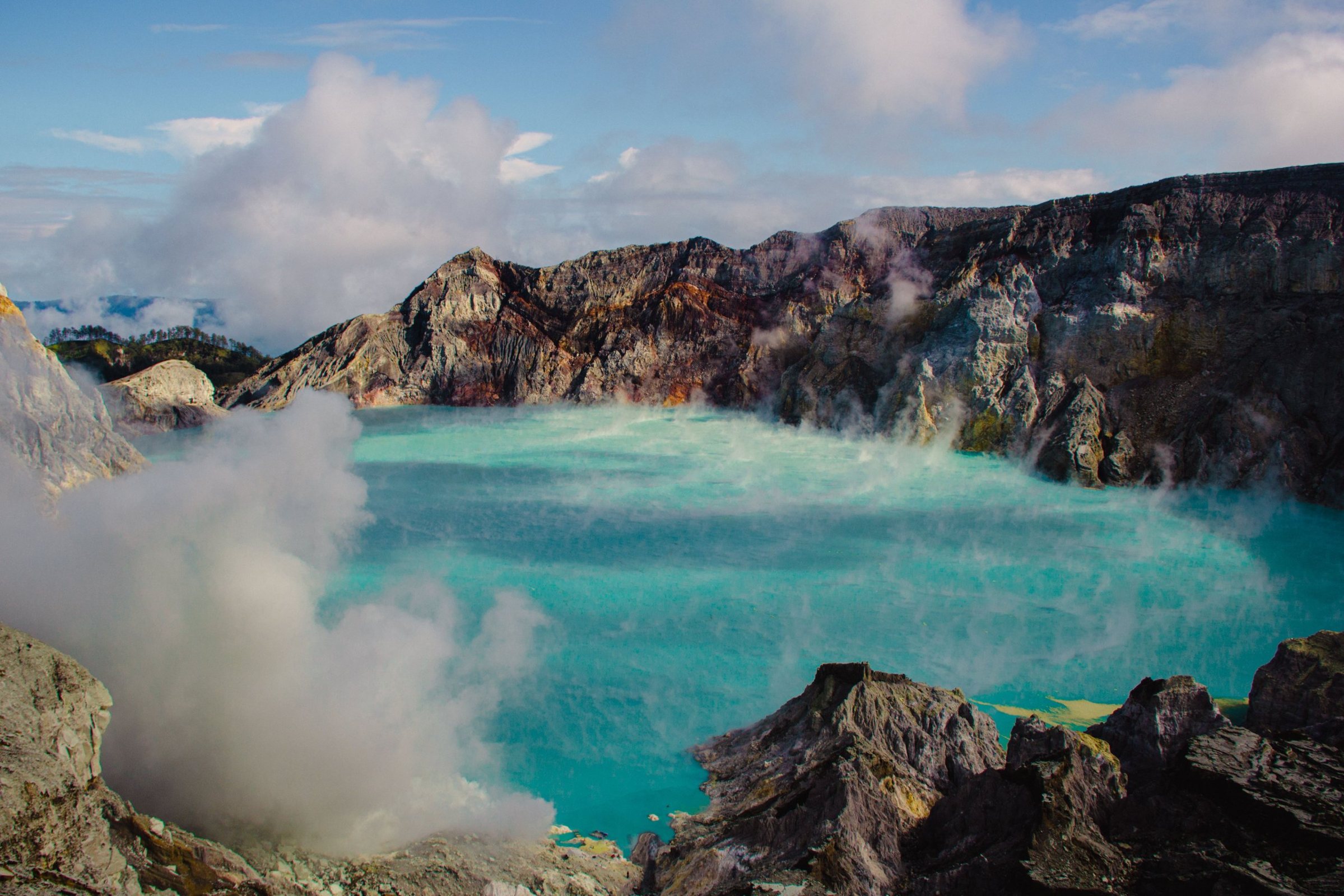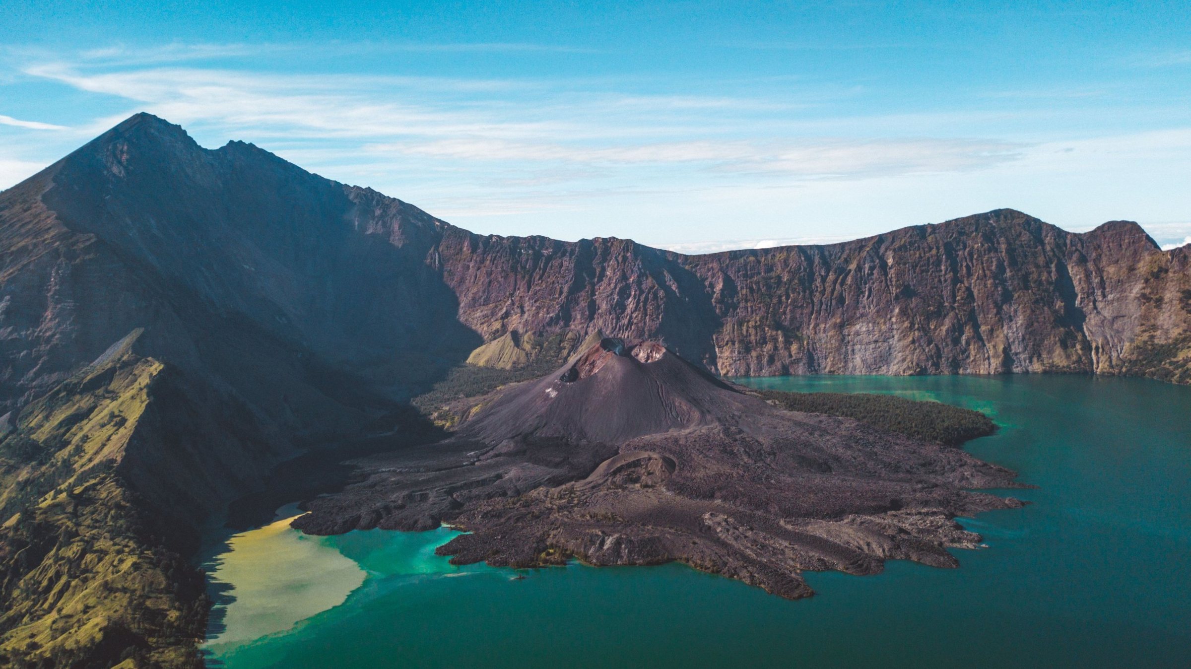
At 3,726 metres, Rinjani is Indonesia's second-highest volcano and one of the great treks of Southeast Asia: a night climb to the summit, a crater lake with hot springs, and a sunrise over Bali and Sumbawa. It is also a serious mountain, with stricter rules since 2025. Here is what you need to know before you go, with the trail status as of October 2026.
Is Mount Rinjani open right now?
Yes, mostly. As of mid-October 2026 the Sembalun, Senaru, Timbanuh, Tetebatu and Aik Berik routes are open, and booking through the park's eRinjani app resumed on 3 October after a pause during the fire season. The Torean route closed after a forest fire in late September; treat it as closed until the park says otherwise. All routes close every rainy season, usually from January to the end of March.
How hard is the Rinjani trek?
Hard. Day one climbs well over 1,000 metres to the crater rim at about 2,640 metres. The summit push starts around 2 a.m. and gains another 1,100 metres in three to four hours, much of it on loose scree. Then you drop more than 600 metres to the lake and climb out the other side. You need no climbing skills, but you do need good fitness, broken-in boots and the willingness to turn back.
Since August 2025 the park grades Rinjani as a climb for experienced hikers and may ask for proof of an earlier mountain. If this would be your first, warm up on Mount Agung or Batur on Bali, and train with long, loaded hill walks for six to eight weeks. Sleeping at 2,640 metres can bring headaches; drink plenty and tell your guide early.
Sembalun or Senaru: which route?
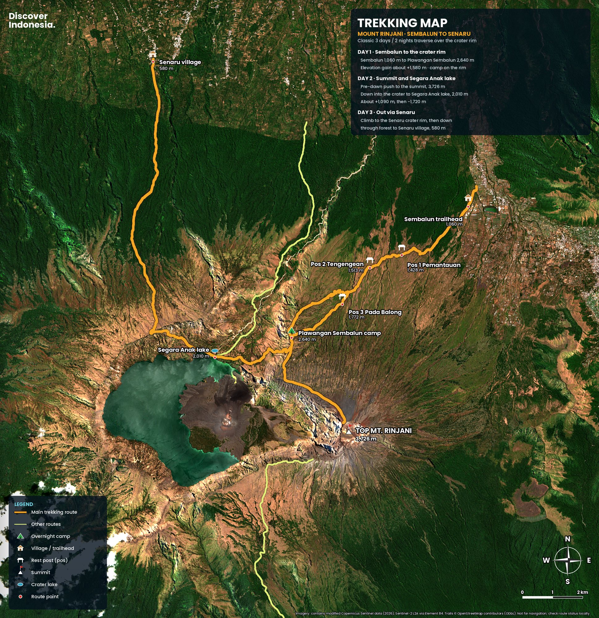
Most people go up from Sembalun and down through Senaru. Sembalun, on the east side, starts higher, crosses open grassland and leads to the rim camp right below the summit. Senaru, in the north, climbs from about 600 metres through forest and has no direct summit approach, which makes it the better way down: the long descent on day three is in shade. Timbanuh, Tetebatu and Aik Berik in the south are quieter alternatives.
The 3-day trek, day by day
| Day | Route | Walking time |
|---|---|---|
| Day 1 | Sembalun, Pos 1, Pos 2, Pos 3, Plawangan Sembalun rim camp (~2,640 m) | 6–8 h |
| Day 2 | Summit (3,726 m) at dawn, back to camp, down to Segara Anak (~2,000 m) and the hot springs; some groups continue to the Senaru rim | 8–12 h |
| Day 3 | Lake or Senaru rim (~2,640 m) down through forest to Senaru (~600 m) | 5–8 h |
Day 1. From the Sembalun office the trail crosses hot, open savanna past three shelters, then climbs a relentless series of ridges for the last three hours to the rim. Camp looks down on the lake and the young cone of Barujari, with Bali's Agung on the horizon at sunset. It is cold after dark.
Day 2. The summit push is the reason most people come: a firm ridge by headlamp, then a long slope of scree where every two steps up slide one back, and a narrow, windy final ridge with long drops into the caldera. Aim for sunrise at around 5.30 to 6 a.m., before the clouds rise. Wear every layer you have, and take the descent slowly; many accidents happen on the way down. After breakfast at camp you descend about three hours to Segara Anak, where hot springs feed natural pools by the shore.
Day 3. Almost all downhill: about 2,000 metres from the Senaru rim to the village in five to six hours, rocky at first, then muddy forest. Trekking poles save your knees. Four-day trips add a slower day at the lake; two-day trips reach the rim only.
When is the best time to climb Rinjani?
The trails are normally open from April to December. July and August are the driest and clearest but also the busiest, and quotas sell out. September is the sweet spot: nearly as clear, with fewer people. November and December bring more rain. The dry months are also fire season, so keep your dates flexible.
Permits, guides and the new rules
Every trek must be booked through eRinjani, the park's official system, and foreign trekkers go through a licensed operator with certified guides and porters. Daily numbers are capped, and the foreign entrance fee rose in November 2025. After a series of fatal and serious falls in mid-2025, the park reopened with stricter rules:
- Health and insurance: a health certificate, and insurance that covers trekking above 3,000 metres and evacuation.
- Guides and kit: a cap on trekkers per guide, a safety briefing before every trek, and checks for warm clothing, a sleeping bag and first aid.
- Zero waste: single-use plastic, speakers and fires are banned, and everything you carry up must come back down, or the group is fined.
Choose an operator that books through eRinjani, ask exactly what the price includes and what happens if a route closes, and ask how the porters are equipped and paid. Unusually cheap trips usually save on exactly that.
Getting there and where to stay
Fly to Lombok International Airport, about 40 minutes from Bali, then drive three to five hours to Sembalun or Senaru. Fast boats from Bali to Bangsal on the north-west coast take about two and a half to three and a half hours, and Senaru is two hours from there. Most operators include transfers. Sleep the night before in Sembalun Lawang or Senaru rather than driving at 3 a.m., and if you have a spare morning in Senaru, walk to the Sendang Gile and Tiu Kelep waterfalls with a local guide.
What to pack, and staying safe
Nights on the rim can drop to a few degrees above freezing, and the summit at dawn is windy and bitter. Bring warm layers, a hat and gloves, a rain jacket, gaiters, a headlamp, trekking poles, sun protection, a swimsuit for the hot springs and about three litres of water a day. Porters carry tents and food, but check how warm the sleeping bag really is.
Most trouble on Rinjani is ordinary: cold, exhaustion, a fall on scree, getting separated in cloud. Stay with your guide on the summit ridge, check the volcano's alert level on MAGMA Indonesia before you go, and remember that Indonesia's emergency number is 112.
Quick answers
How many days do I need for Rinjani?
Three days and two nights for the summit and the lake. Four days adds a rest day at the lake; two days is enough for the crater rim only.
Can beginners climb Rinjani?
Only with good fitness and some mountain experience. The park may ask for proof of an earlier climb, so start with an easier peak such as Batur or Agung.
Is it safe to climb Rinjani?
Yes, with a licensed guide, proper gear and a willingness to turn back, but it is not a casual hike: the summit ridge is steep and exposed, and there have been fatal falls.
Why is there a lake inside the volcano?
Because a neighbouring mountain, Samalas, blew itself apart in 1257 in one of the largest eruptions of the past several thousand years. Its collapsed caldera now holds Segara Anak. More on our Mount Rinjani volcano page.
Our Discover Indonesia guides to Rinjani and Lombok cover routes, itineraries and where to stay in more depth. Browse them all on our guides page.
Facts checked October 2026. Trail status, quotas, fees, guide ratios and rules change often, and fire-season closures can come at short notice; always confirm with Mount Rinjani National Park (Balai TNGR), the eRinjani app and your operator before you travel.
- Rinjani (Smithsonian Global Volcanism Program)
- Jalur Pendakian Senaru Gunung Rinjani Kembali Dibuka Pascakebakaran Hutan (NTBSatu, 3 October 2026)
- Lima Jalur Pendakian Gunung Rinjani Kembali Dibuka (Katadata, 3 October 2026)
- 589 Hektare Lahan Gunung Rinjani Terbakar, Jalur Pendakian Torean Ditutup (Katadata, 25 September 2026)
- Indonesia allows limited tourism at Mt Rinjani amid wildfire risk (The Star / Bernama, September 2026)
- Pendaki Gunung Rinjani Wajib Tahu, Ada Pengumuman Penting (JPNN, December 2025)
- Indonesia shuts Mount Rinjani routes to review climber safety protocols (TTG Asia, July 2025)
- Mount Rinjani reopens with stricter safety rules for climbers (TTG Asia, September 2025)
- New SOP for climbing Mount Rinjani (VOI, August 2025)
- Kenaikan Tarif Rinjani Berlaku 3 November 2025 (Merdeka)
- Gunung Rinjani jadi percontohan taman nasional nol sampah (Antara, May 2025)
- Sampah jadi tantangan misi pendakian kelas dunia Gunung Rinjani (Mongabay Indonesia, September 2024)
- Death of Juliana Marins (Wikipedia)
- Senaru waterfalls (Travelfish)